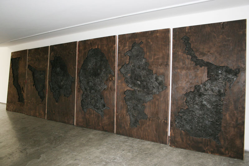
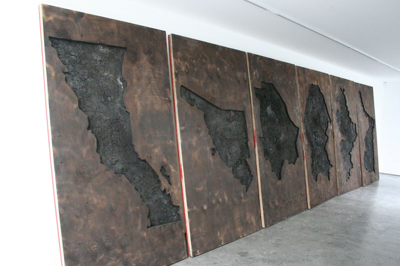
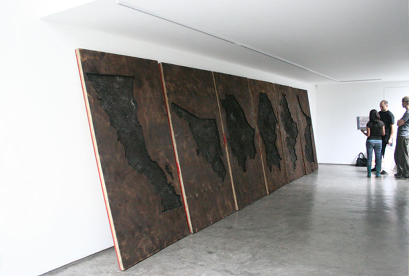
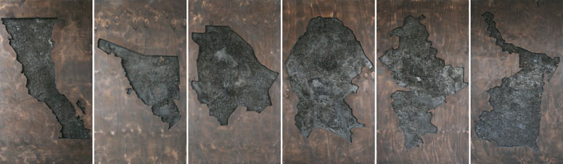
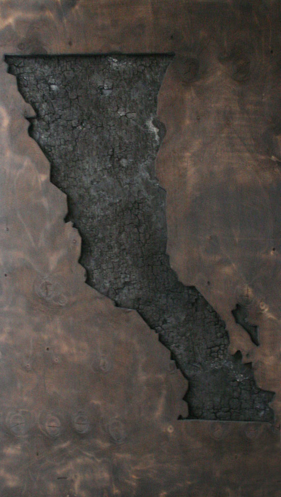
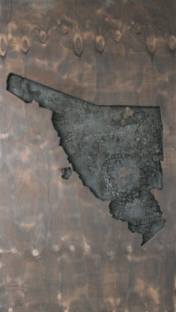
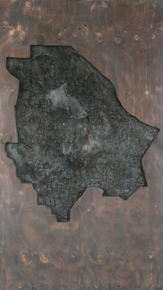
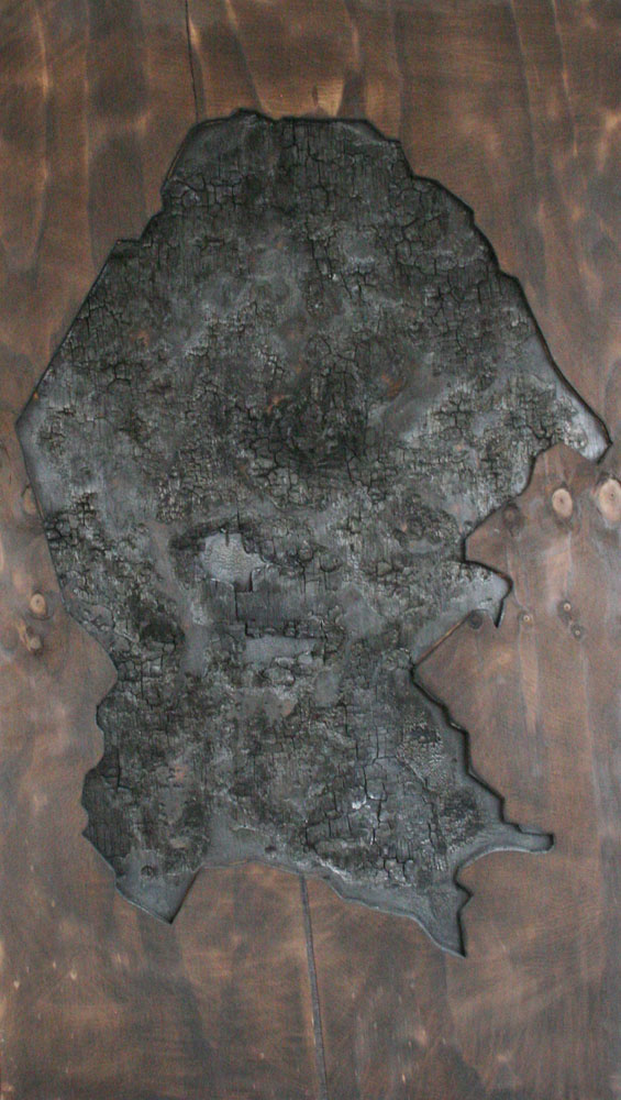
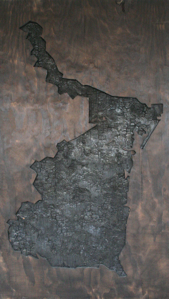
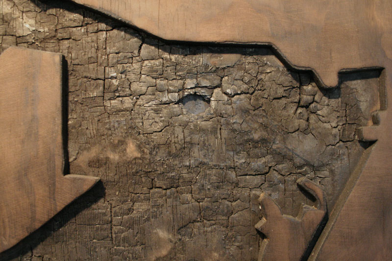
Mapa fronterizo (Border map). 2009
Six panels of plywood, carved and burnt. 220 x 732 x 6 cm
Each panel depicts a map of a Mexican state bordering the U.S.
These maps are made at different scale to fit to the panels, leading to a fragmentation of the represented border area in reference to local differences that divide the region.
The use of fire as corrosion of the mapped territory is a metaphor of the damage made on those societies by violence and corruption.